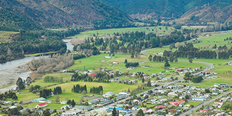
The township numbers about 650 with a similar number in the surrounding valleys. Murchison is a rural service town for the surrounding mixed farming district on State Highway 6 approximately halfway between Westport and Nelson. Nelson and Westport are each about 1.5 hours drive.
The township is at an altitude of 150m above sea level. Rainfall is about 1600mm per annum and is fairly evenly distributed throughout the year.
Murchison experienced a major earthquake in 1929 measuring 7.8 on the Richter scale. Seventeen people lost their lives, many from resulting landslips and floods.
The Murchison area is isolated and the town can be easily cut off by flooding, snow, landslip or earthquake. For that reason it is considered necessary to have a plan to address the main risks that the area faces.
Welfare Centres
Murchison Recreation Centre
Radio
Radio stations - for broadcast of urgent public messages (reception variable):
- More FM 94.1 FM
Weather
Rainfall: www.tasman.govt.nz/environment/water/rainfall
Weather: metservice.com/rural/buller
Red Cross Hazards App
![]() The Hazard App is a free, comprehensive and convenient way to help you and your family prepare and respond to hazards in New Zealand. The app will guide you through preparing an emergency response kit and plan, what to do during an emergency and give you step-by-step information to help you recover. Learn more on our Hazards App page.
The Hazard App is a free, comprehensive and convenient way to help you and your family prepare and respond to hazards in New Zealand. The app will guide you through preparing an emergency response kit and plan, what to do during an emergency and give you step-by-step information to help you recover. Learn more on our Hazards App page.

